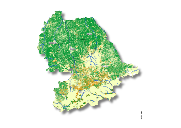
Irrigation Status Monitoring Irrigation status is assessed using satellite-derived maps that classify irrigated crop areas, non-irrigated crop areas, and non-cropped land. These maps are further integrated with major streams and canal networks to support efficient water resource management and planning.
Enhance your irrigation strategy with data-driven spatial insights—connect with us today.
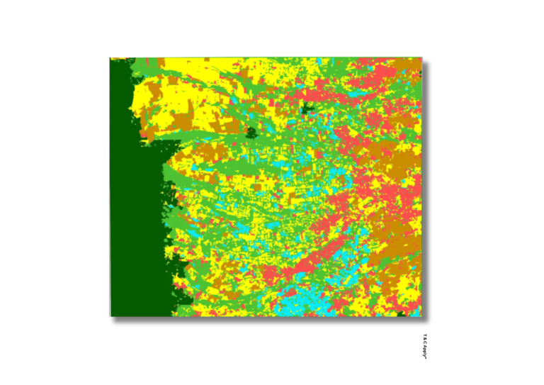
Crop Health Monitoring and Disease Mapping
Crop health is monitored through vegetation indices derived from satellite imagery, enabling detection of stress and anomalies at an early stage. Disease-affected areas are mapped spatially to aid in targeted management and timely mitigation strategies.
Protect your crops with timely, targeted insights—reach out to our team for support.
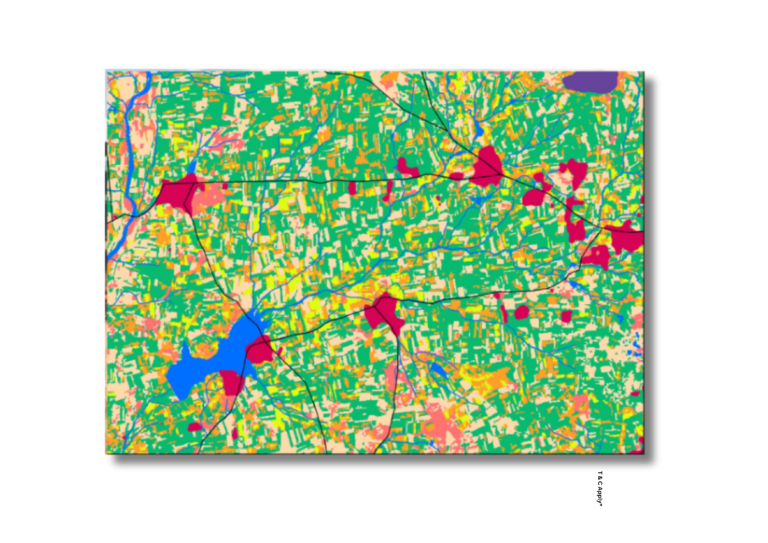
Crop types classification
Satellite imagery, field data, and machine learning algorithms are combined to classify different crop types across large agricultural regions. This integrated approach enhances the accuracy of crop inventory, supports reliable acreage estimation, and informs evidence-based policy planning.
Partner with us to bring precision and clarity to your agricultural landscape.
Irrigation Status Monitoring Irrigation status is assessed using satellite-derived maps that classify irrigated crop areas, non-irrigated crop areas, and non-cropped land. These maps are further integrated with major streams and canal networks to support efficient water resource management and planning.
Enhance your irrigation strategy with data-driven spatial insights—connect with us today.
Crop Health Monitoring and Disease Mapping
Crop health is monitored through vegetation indices derived from satellite imagery, enabling detection of stress and anomalies at an early stage. Disease-affected areas are mapped spatially to aid in targeted management and timely mitigation strategies.
Protect your crops with timely, targeted insights—reach out to our team for support.
Crop types classification
Satellite imagery, field data, and machine learning algorithms are combined to classify different crop types across large agricultural regions. This integrated approach enhances the accuracy of crop inventory, supports reliable acreage estimation, and informs evidence-based policy planning.
Partner with us to bring precision and clarity to your agricultural landscape.