ISO 9001:2015 Certified Company

ISO 9001:2015 Certified GIS Experts. Precision.Quality. Reliability.
Join Our Workshops
There are New GIS Workshops every month which you can check out here
Aerial Surveying & Mapping
Our Clients
Customers feedback
SIBASANKAR MISHRA
06:06 20 Aug 24
Attended a hydrology webinar, and it was a good one. Everything was explained clearly regarding morphometry. Special thanks to Abhinav for the smooth operation of the webinar and for solving all the queries.
TS Ramesh
12:28 11 Aug 24
Very informative 2 day course on Hydrological modelling . Those with basic knowledge of Survey /Hydrology (Civil Engineers) will find it very useful while Geotechnical Engineers will benefit by understanding
Karl Alex Laurito
01:42 10 Aug 24
They are very accommodating and really knows what they are doing. Hope I can learn more from them.
Claire Peinke
15:26 30 Jul 24
I found TGIS to be very knowledgeable and helpful during the course I attended. I would highly recommend utilizing their courses to improve your GIS skills.
Goodluck Massawe
04:04 06 Jul 24
The 1-month QGIS workshop by TGIS was exceptionally informative and well-structured. From mastering basic functionalities to tackling advanced GIS tasks, every session was engaging and practical. The instructors' expertise and hands-on approach made complex concepts easy to grasp, and the culminating project solidified my skills. I highly recommend this workshop for anyone serious about leveraging QGIS effectively.
Nitesh Rawat
14:31 03 Jul 24
The one and the best organisation for GIS mapping:
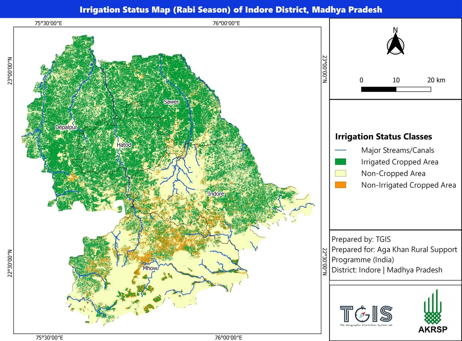
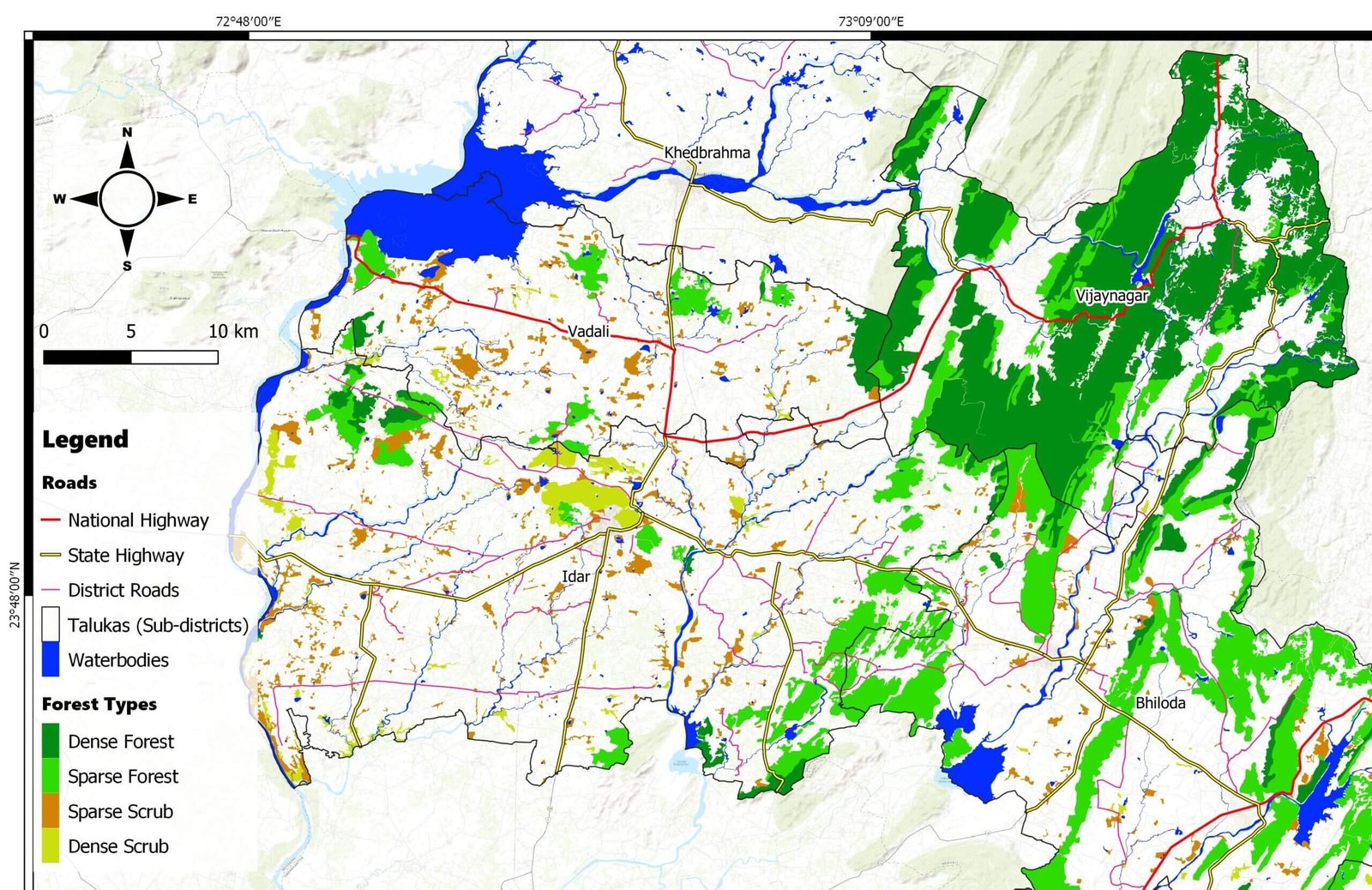
Our collaboration with TGIS for thematic mapping. They provided precise and visually compelling maps that exceeded our expectations. Communication was seamless, and their professionalism was evident throughout. We highly recommend TGIS for anyone needing top-tier mapping services.
Our collaboration with TGIS for thematic mapping. They provided precise and visually compelling maps that exceeded our expectations. Communication was seamless, and their professionalism was evident throughout. We highly recommend TGIS for anyone needing top-tier mapping services.
BRAHMANDAM ANJANI KUMAR SREEVASTHSAV
07:33 06 May 24
One of the best QGIS workshops out there in the open. I've attended their Hydrological Modelling workshop and was impressed by it. They start right from the basics and also do the Q&A well. They're reasonably priced and I'd highly recommend it to anybody who's interested in learning QGIS or allied/similar softwares.
Would you like to start a project with us?
Contact us for any customised consulting project or workshop to that you would like us to conduct for your organisation
