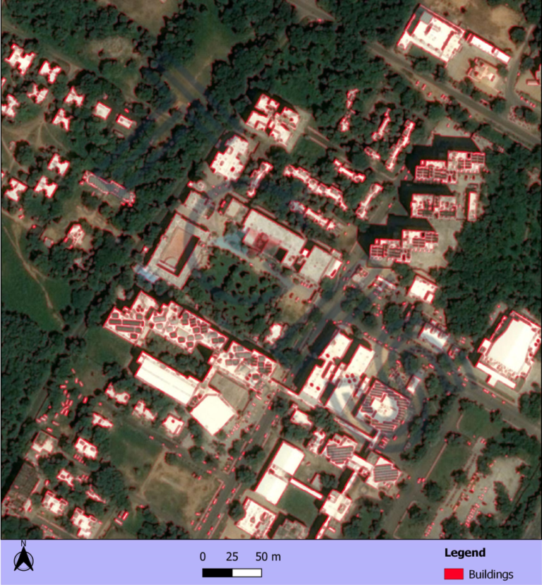
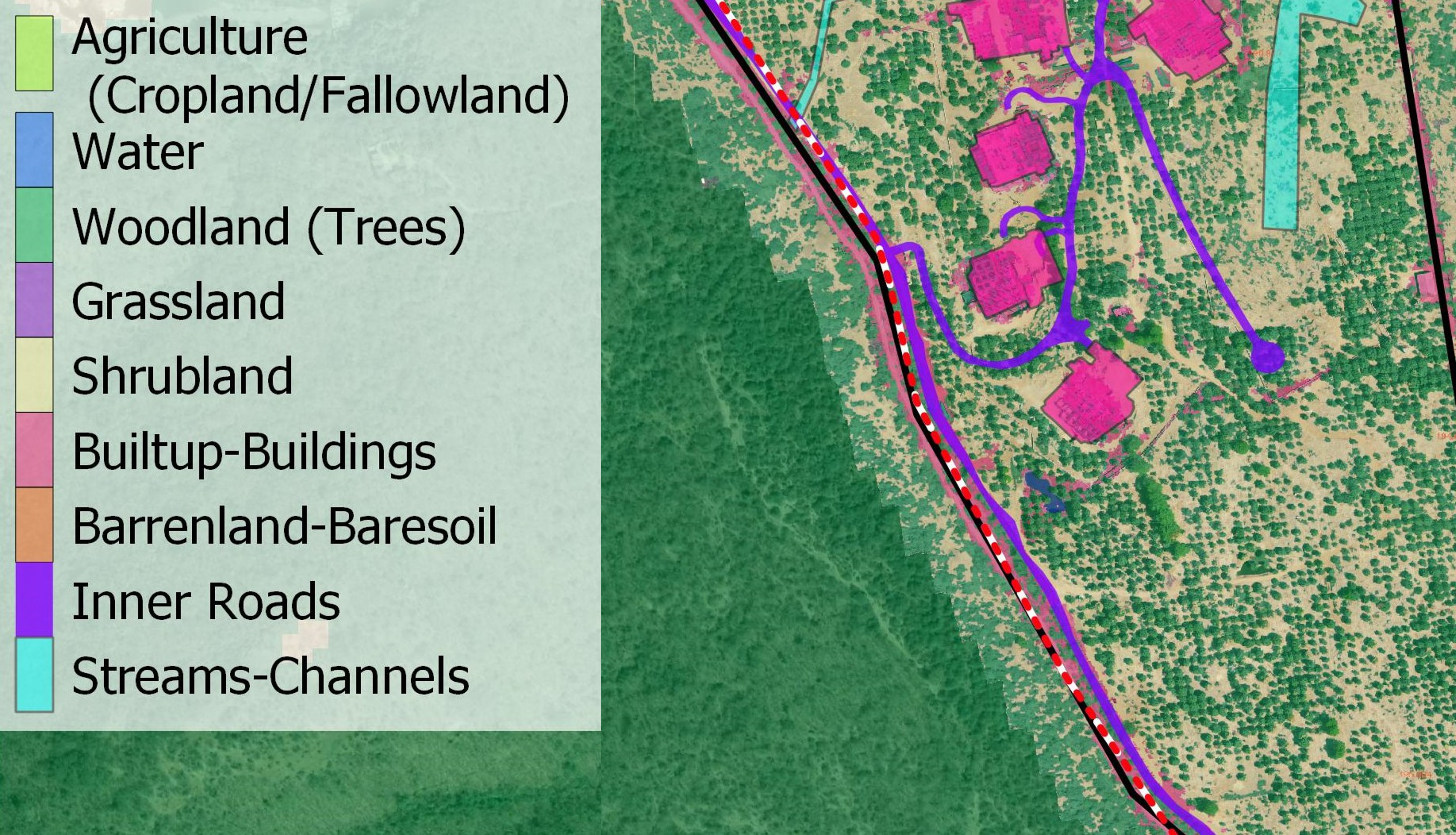
Application in Urban/Rural Planning GIS technology is used to analyze the urban growth and its direction of expansion, and to find suitable sites for further urban development. The applications in Urban planning include: Delineating buildings and other features Road networks Hospitals network Pipeline maps Industrial Area mapping Zone plans and mapping