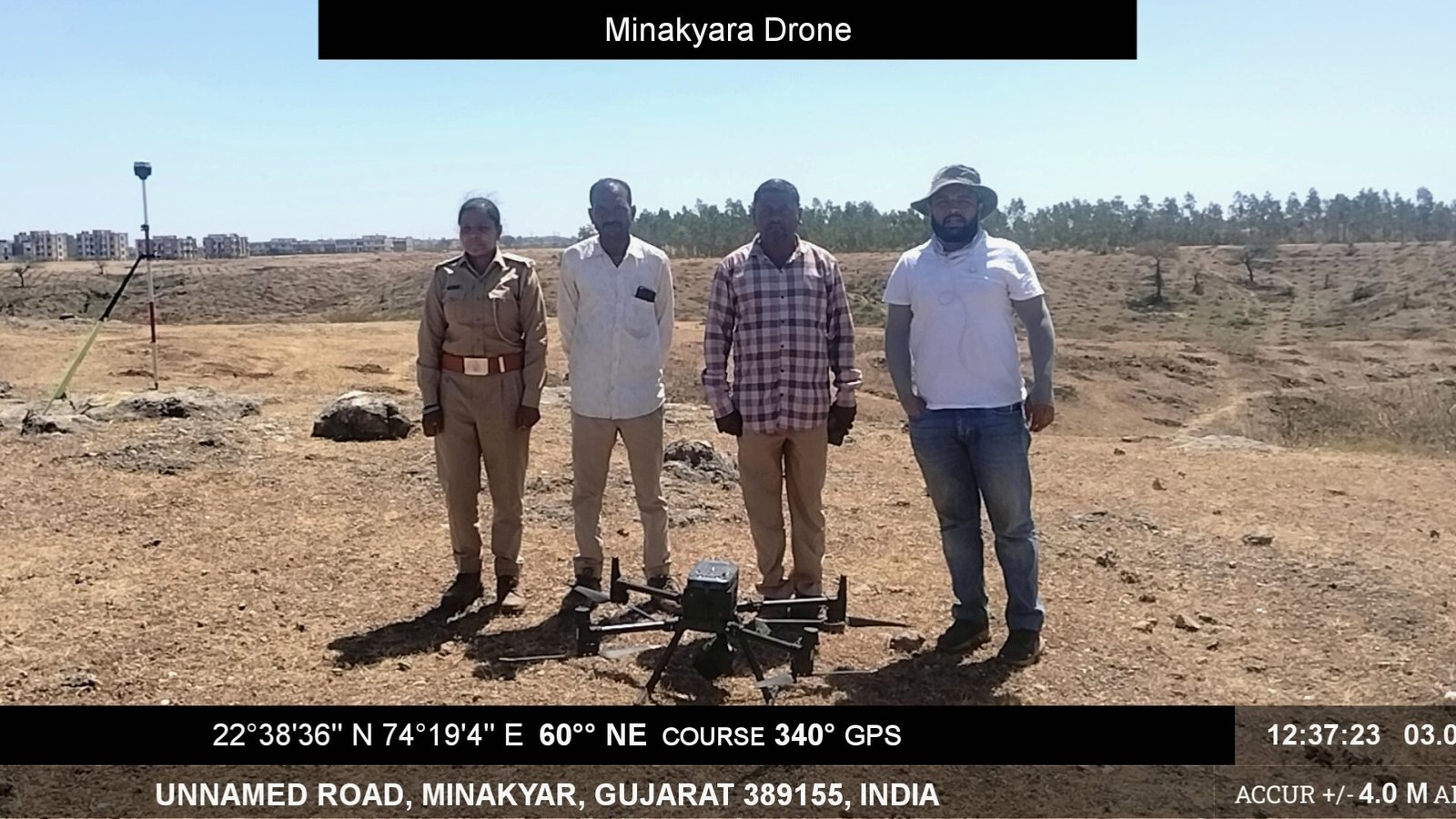
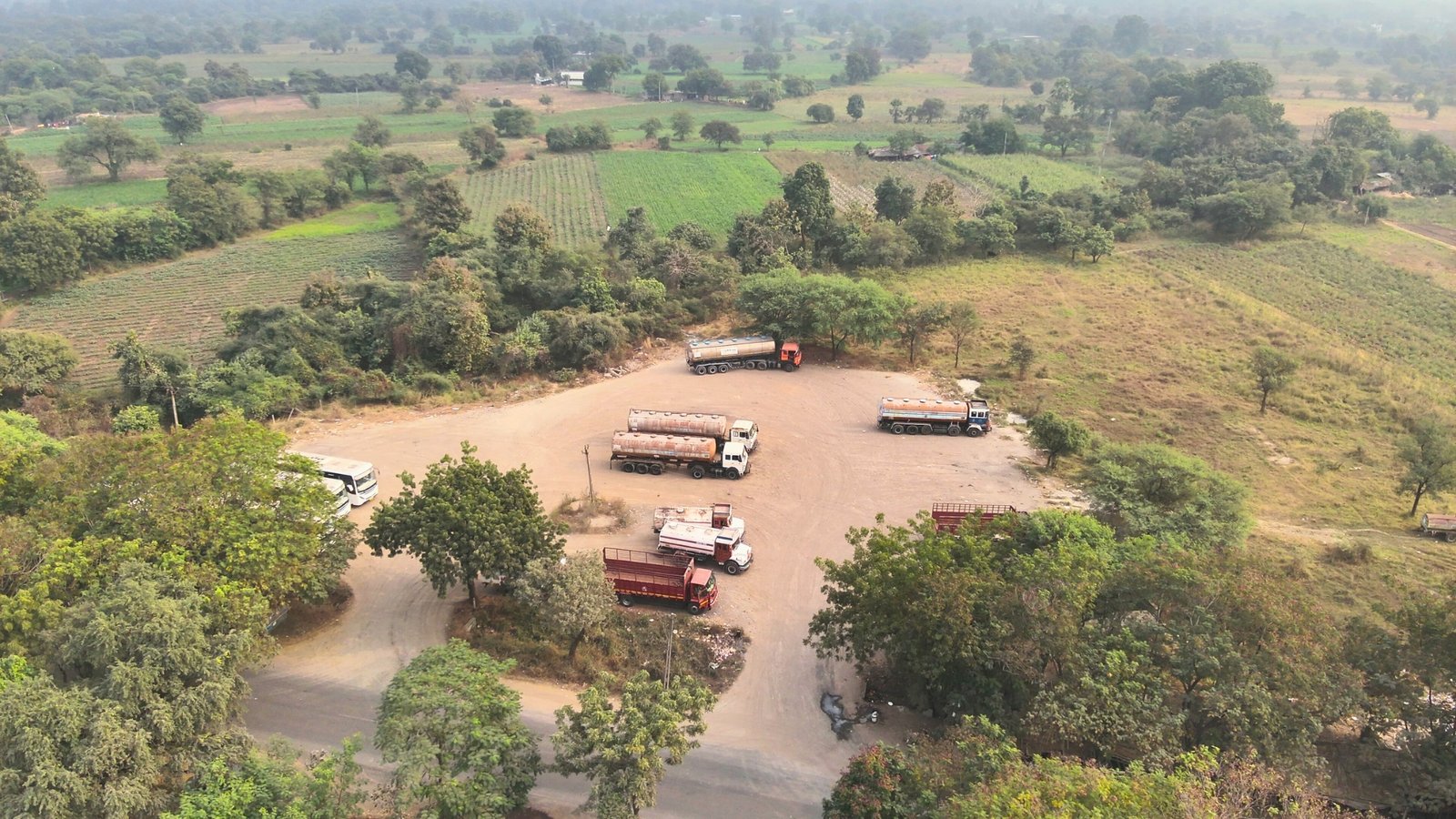
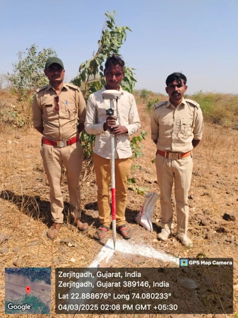
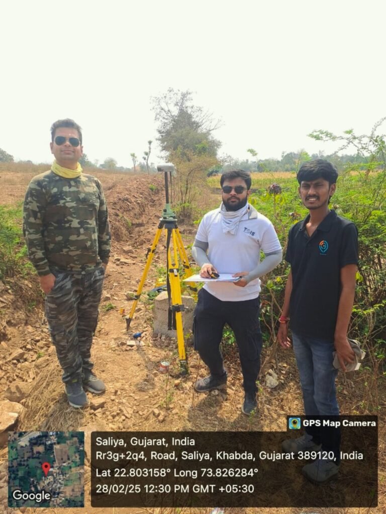
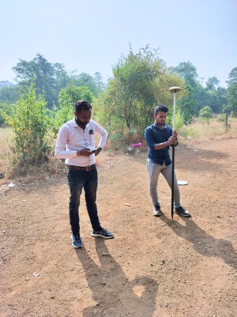
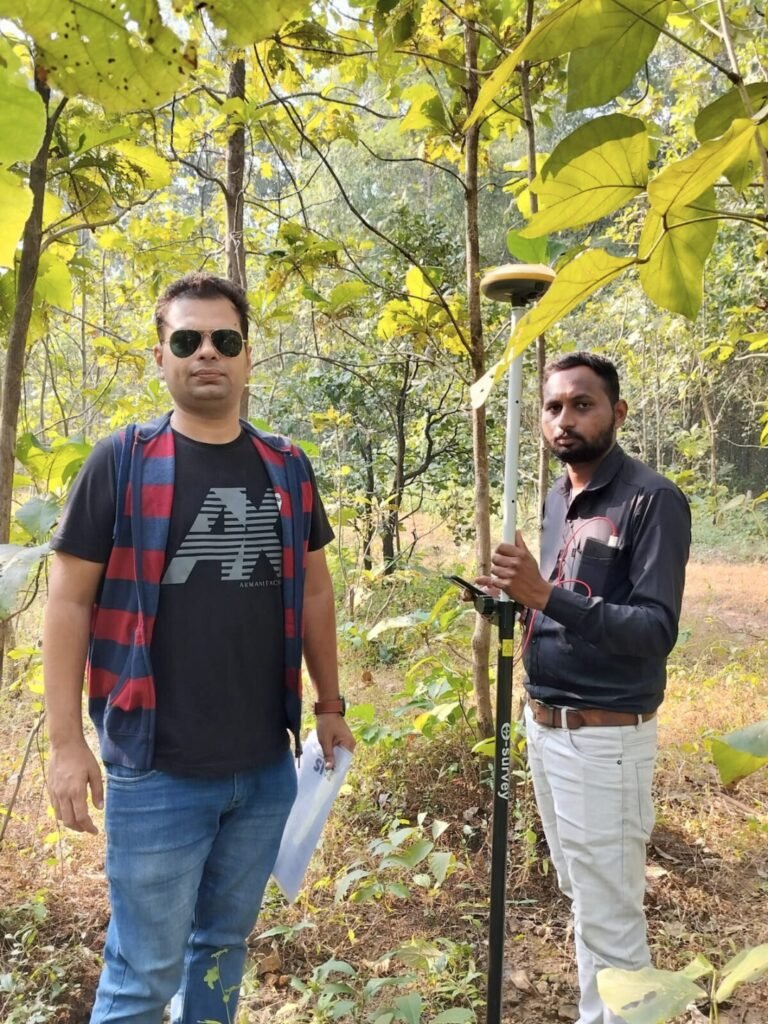
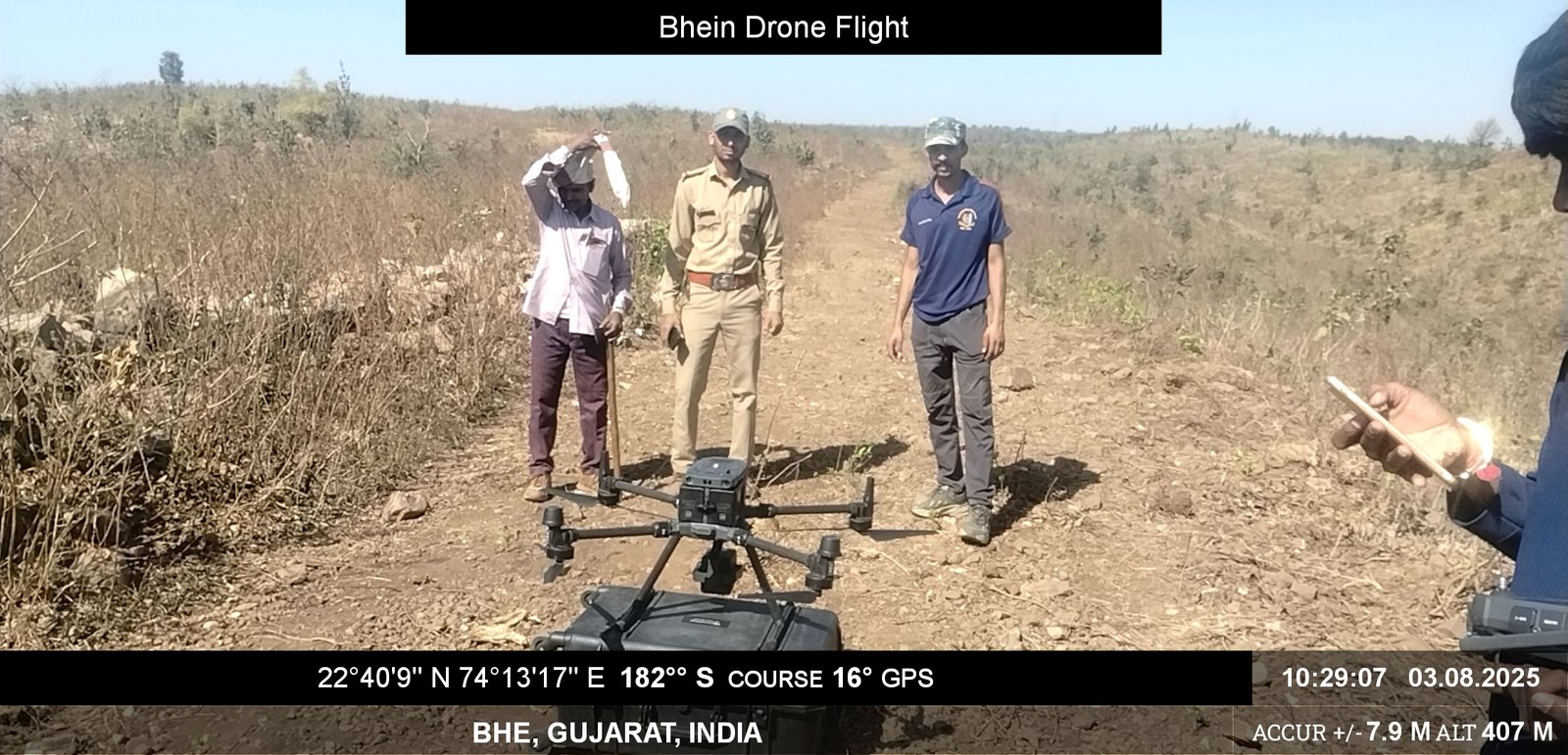
Drone Surveying Aerial Surveys for Large-Scale Terrain Capture High-resolution drone surveys collect topographic and orthographic data rapidly over large areas—ideal for mapping, monitoring, and planning.Fly over detail—survey the landscape with precision drones. DGPS Surveying High-Accuracy Location Surveying with DGPS High-Accuracy Location Surveying with DGPSUsing differential GPS (DGPS), we achieve sub-meter positional accuracy for land demarcation, infrastructure layout, and alignment verification.Survey with confidence—DGPS for pinpoint positioning. LiDAR Surveying 3D Laser Scanning for Terrain and Structure Mapping Light Detection and Ranging (LiDAR) captures detailed 3D models of terrain, vegetation, and infrastructure with centimeter-level accuracy.Scan the surface—build data-rich LiDAR landscapes.