Functional Area Expert: LU & EB (Landuse and Ecology & Biodiversity, Category- A)
Functional Area Expert: AQ & HGL (Air pollution monitoring, prevention and control and Hydrology, Groundwater and Water conservation, Category- A)
Technical Area Expert: GWCO (Groundwater-RS & GIS)
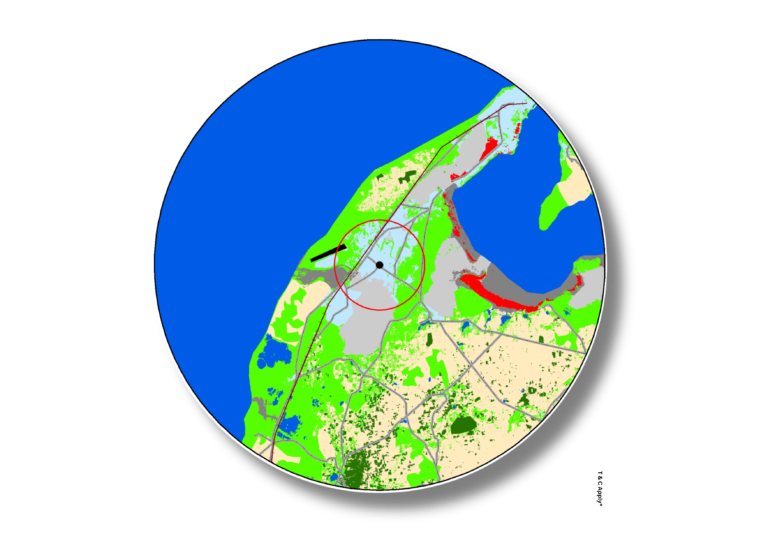
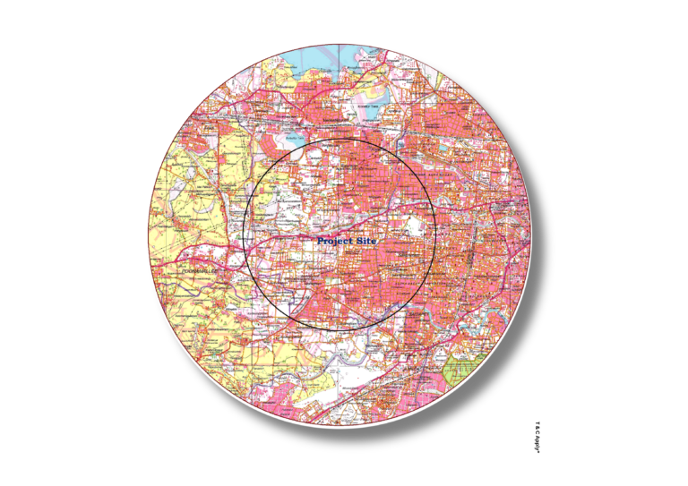
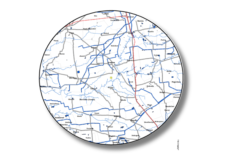
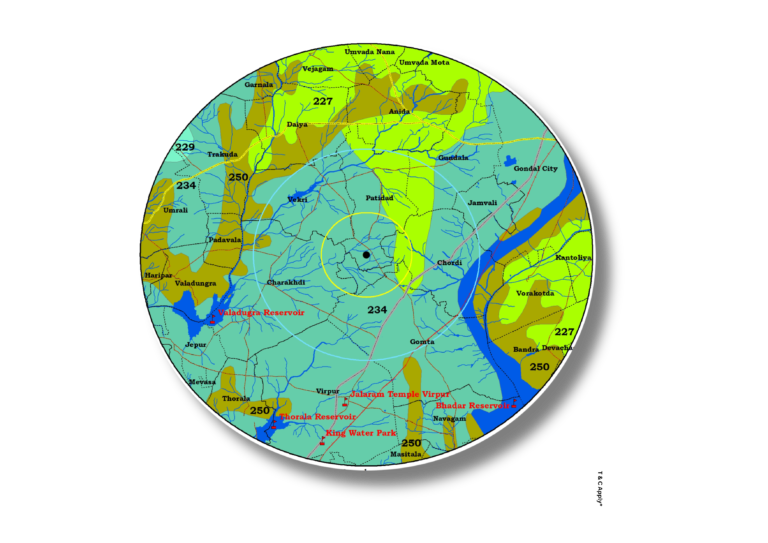
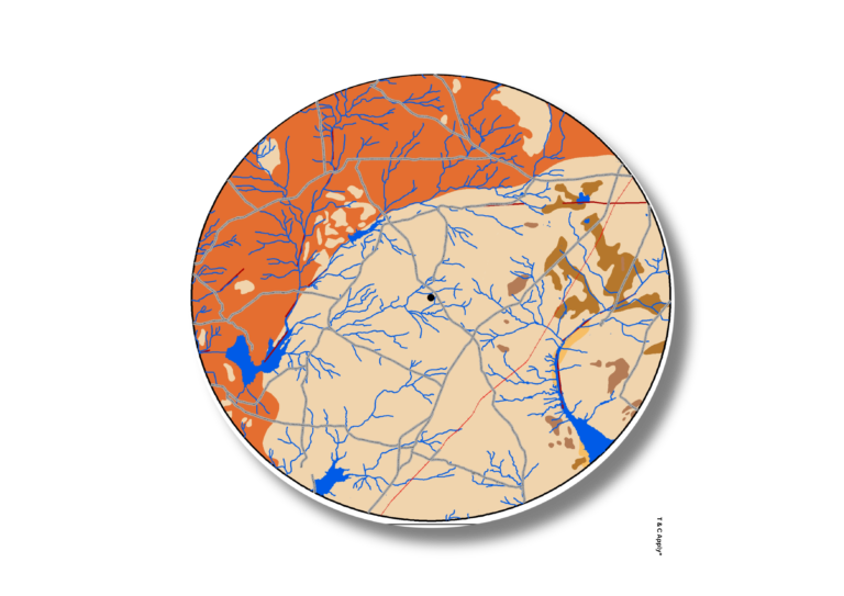
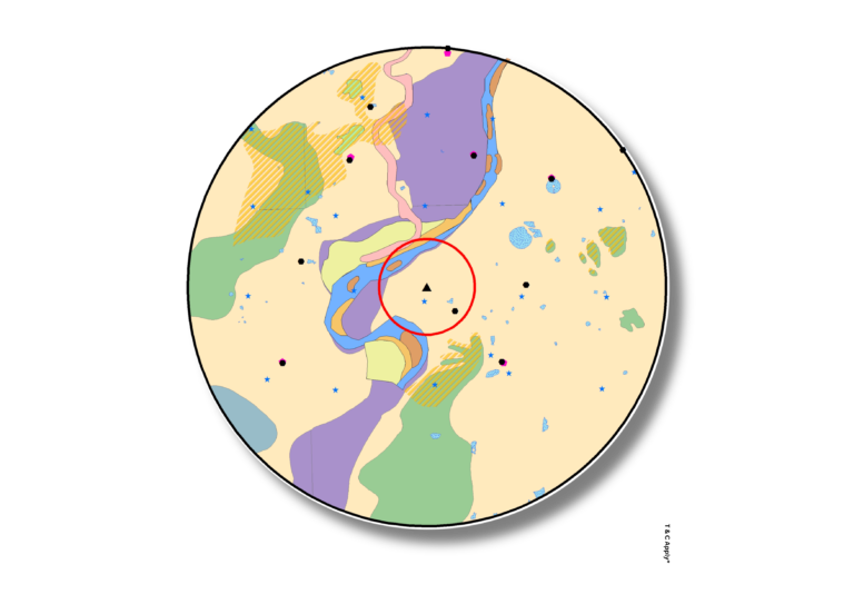
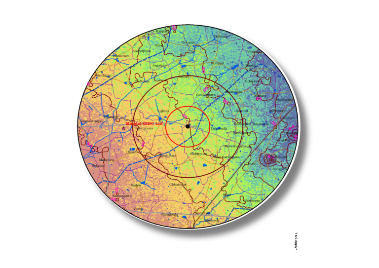
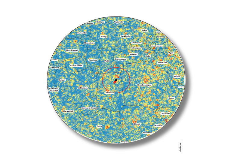
Environmental Impact Assessment
We support Environmental Impact Assessments through comprehensive geospatial analysis, incorporating key environmental layers such as land use/land cover, toposheets, drainage patterns, soil types, hydrogeology, geomorphology, elevation, slope and village boundaries.These spatial datasets enable holistic evaluation of ecological, hydrological, and socio-environmental impacts of proposed projects.
Make informed decisions with spatially grounded EIA support—consult our experts for detailed environmental analysis.