Application in Groundwater Modelling
We provide mapping services for EIA/Groundwater maps for environmental reports as has become a part of regulatory compliance. We provide a variety of groundwater models and maps such as:
- Contaminant Transport Mapping for various contaminants such as Sulphate, Arsenic etc.
- Well Extraction for identifying and estimating over-extraction if present.
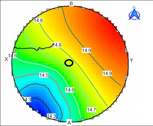
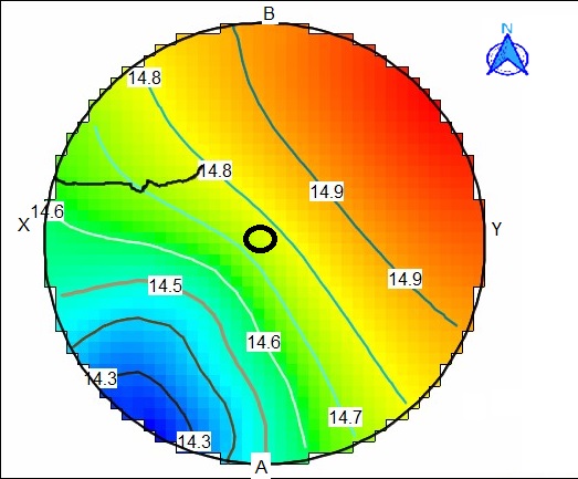
- Water Contour maps basically show water table contour lines for understanding direction and level of groundwater.
- Regional flow for visualizing how water spreads across and understand processes such as recharge, percolation etc.
- 3D aquifer and geological modelling maps also provide a deep understanding of subsurface features
TAE: GWCO(Groundwater-RS & GIS)


