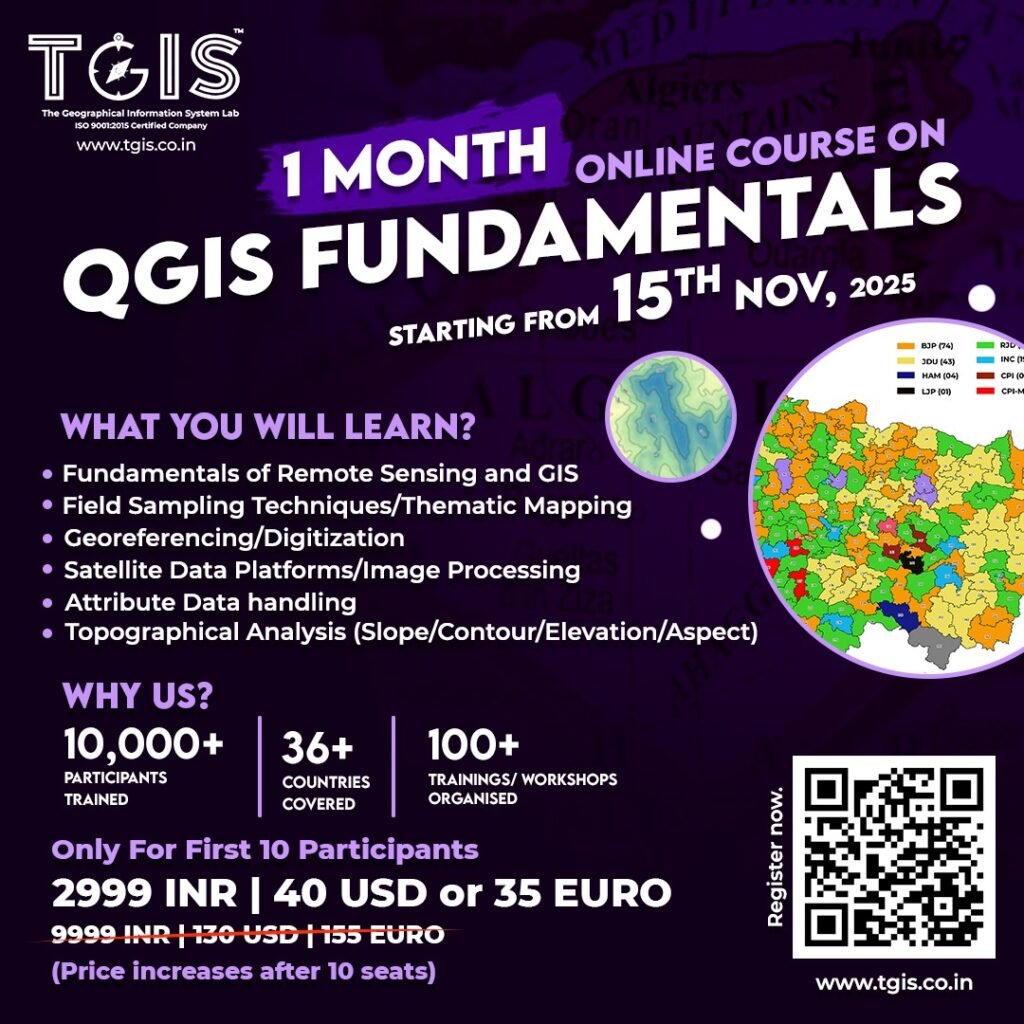
1 Month QGIS Courses
QGIS Fundamentals
Become master in QGIS in just one month with TGIS! Get expert guidance, hands-on training, and practical skills to boost your geospatial career makes best QGIS Courses in India.
Register Now!
COURSE INFORMATION
Act fast! Final 5 seats available — once they’re gone, they’re gone! 🚀 Offer ends soon!

COURSE DURATION
1 Month (Every Weekend)
Online Platform
Zoho Meeting
COURSE FEE
₹2,999 ($ 40 or Euro 35)
TIMING
4 PM to 6 PM (Two Hours)
Inclusion
Live Demonstration
Step by Step Tutorial (PDF)
GIS Database (For Workshop)
Reading Material
E-Certificate
1 Week Training Support
THEORY AND PRACTICAL TOPICS COVERED
- Introduction to RS and GIS
- Use of RS/GIS in Earth Science application/Hydrology
- Overview/Installation of QGIS software
- Georeferencing and its importance
- Practical demonstration of georeferencing raster data in QGIS.
- Hands-on exercises
- Creating and editing new features with topology checks
- Tracing, snapping, Merge, split, rotate, mirror, etc.
- Practice sessions in QGIS to master in skills.
- Demonstration and exercise of buffer creation & various proximity plugins
- Attribute data and database management intro
- Importing, Exporting and Managing attribute tables
- Explanation of Spatial queries and their significance
- Practice exercises on combining attribute and spatial queries
- Field sampling techniques and their role in data collection
- Methods for importing/ exporting field data
- Creating thematic maps using different classification methods
- Introduction to map diagram/ pie chart and their visualization techniques
- Generating 2.5D maps to represent elevation or thematic data
- Satellite data platforms and their applications for GIS applications.
- Accessing and importing satellite imagery from different platforms in QGIS.
- Techniques for image processing using QGIS tools.
- Mosaicking multiple images, clipping to a specific area of interest, and layer stacking for analysis.
- Computation of Indices-NDVI, NDBI and NDWI
- Explaining topographical analysis and its significance in GIS.
- Calculating slope, contour lines, aspect, and elevation from digital elevation models (DEMs)
- Terrain analysis (Practical exercises)
- Recap of key concepts covered throughout the course
- Open floor for participants to ask any lingering questions or seek clarification
- Demonstrating solutions to specific queries or problems raised by participants
- Encouraging participants to share their experiences and insights gained from this course